All countries

Country profile

Myanmar national flag

Myanmar

Capital: Nay Pyi Taw

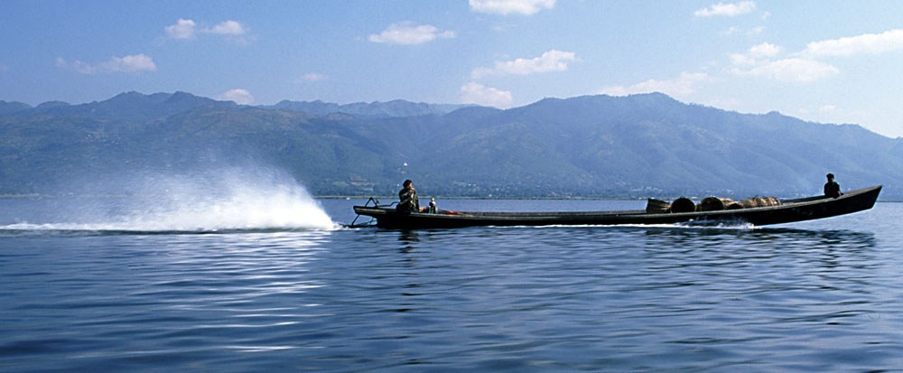
A boat on Inle Lake in Shan State, Myanmar.
A boat on Inle Lake in Shan State, Myanmar. · Photo credit

A boat on Inle Lake in Shan State, Myanmar. Context photograph, not evidence of this initiative.

Photo: Stefan Fussan · CC BY-SA 3.0

Resized to maximum 1200 pixels without enlargement; JPEG re-encoded; EXIF orientation applied. Display may be cropped.

Drive evidence snapshot · 2026-11-01

Climate risks

Documented risk theme

Cyclones and floods

Documented risk theme

Drought

Documented risk theme

Extreme heat

Screening themes, not three highest risks or comparative country ranking. These are qualitative themes, not comparable risk scores.

Evidence: ASCCR pp.39-40; World Bank disaster PDF indexed text; SRC-052 · Checked 2026-11-01

Risk source
Evidence limitations

Risk original(s) archived; qualitative themes retained. Quantitative scenario extraction and updated assessment review pending

Quantitative climate indicators

Climate indicators · Source scope and review decisions

Review supplied · Source check outstanding

Supplied review & decision

缅甸海平面上升淹没受灾人口基线预测

Secondary WHO 2016 projection of 18M annually affected by 2070, conditional on unresolved water vulnerabilities, not present-day measured exposure.

Reported citation: Country-level Climate Fact Sheet: Myanmar · 2021 · PDF page 5

If major water vulnerabilities are not addressed, the WHO projects that an annual average of 18 million people will be affected by seal level rise-induced floods by 2070 (WHO 2016).
Earlier supplied reviews (2)

缅甸海平面上升暴露人口测算核验 · PDF page 5

Supplied review and quoted passage support this limited claim; original PDF and any entity attribution beyond the quote still require independent checking.

缅甸海平面上升影响人口与损失与损害数据缺失核验 · PDF page 5

Quote supports a secondary WHO 2016 projection, not current measured exposure. It does not establish absence of all national monetary loss statistics; economic summary remains unavailable in supplied evidence.

External review, not independent original-source verification. Human review required · 2026-11-01.supplied-reviews.v3

People & exposure

18M / year

Projected sea-level-rise flood exposure by 2070; secondary WHO 2016 citation

Extraction, quote & page

Submitted extraction — not independently verified

如果不解决水资源脆弱性,世卫组织预测到 2070 年年均将有 1,800 万人受到海平面上升引发的洪水影响

Supplied page: p. 5

If major water vulnerabilities are not addressed, the WHO projects that an annual average of 18 million people will be affected by seal level rise-induced floods by 2070 (WHO 2016).

Economic impact

Data under verification

No unambiguous quote-supported summary available.

Extraction, quote & page

Submitted extraction — not independently verified

Supplied page:

Caveats: Quote supports a secondary WHO 2016 projection, not current measured exposure. It does not establish absence of all national monetary loss statistics; economic summary remains unavailable in supplied evidence.

Source attribution & sectors

Supplied source: Country-level Climate Fact Sheet: Myanmar · 2021 · Red Cross Red Crescent Climate Centre / ICRC · pp. 1, 5

Catalogue candidate: SRC-052 · RCCC ICRC Myanmar Climate Fact Sheet 2021. A catalogue match does not verify the quoted page.

Open catalogue source ↗

Supplied vulnerable sectors: Agriculture, Livestock and Fisheries · Water Resources and Hydropower Infrastructure · Public Health and Healthcare Systems · Coastal Ecosystems

Supplied hazards: Tropical Cyclones and Storm Surges · Extreme Rainfall and Flooding · Droughts and High Temperatures

Import 2026-11-01-user-extract-v5. Different hazards, units, populations and projection horizons are not comparable; no ranking or combined total.


National climate policies

Solutions in national plans

Documented measures, not verified community project outcomes.

3 plan and demonstration extracts · Review decisions attached to individual records. Planned targets are not delivered outcomes.

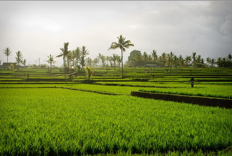
Green terraced rice fields near Ubud in Bali, Indonesia.

Myanmar · Climate-Resilient Agriculture

气候智慧型农业与干旱区水资源调控

在中央干旱区推广气候智慧型农业与水资源高效利用技术,优化作物轮作与雨水收集,保障粮食生产与农民生计。

Context photo · Policy direction / planned target · Source check outstanding

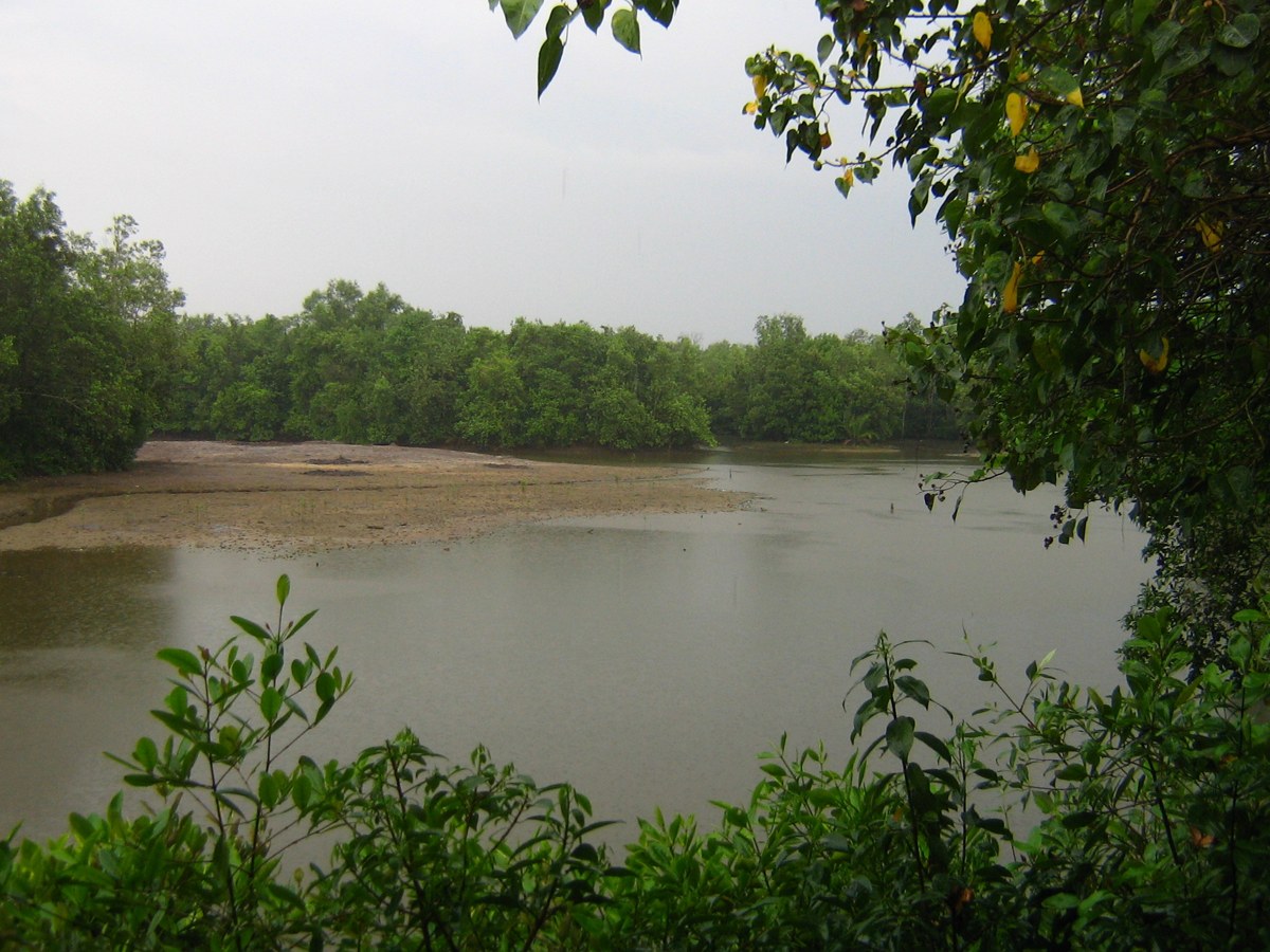
Mangroves at Sungei Buloh Wetland Reserve, Singapore.

Myanmar · Nature-based Solutions

沿海生物屏障构建与红树林防护林体系建设

在大湄公河与沿海平原实施红树林与沿海森林修复工程,降低强热带气旋、风暴潮与海平面上升带来的倒灌破坏。

Context photo · Policy direction / planned target · Source check outstanding

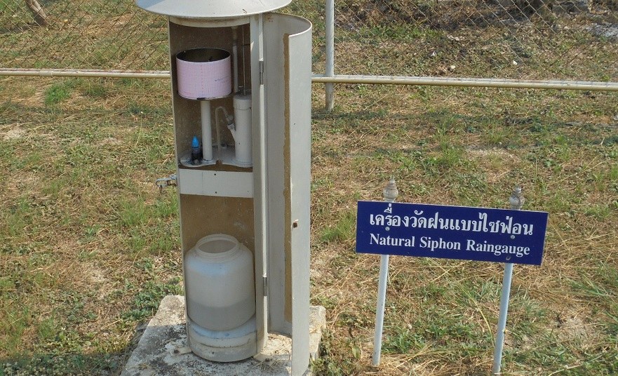
Natural siphon rain gauge at Agromet Phichit, Thailand.

Myanmar · Early Warning & Disaster Resilience

气象灾害早期预警与多灾种应急响应机制

建立完善的气象灾害早期预警与信息发布平台,增强气旋、洪涝与旱灾突发事件下的社区防灾与响应能力。

Context photo · Policy direction / planned target · Source check outstanding

COMMUNITY & CAPACITY EVIDENCE

Community & initiative catalogue

31 supplied extracts · 11 countries + regional records · Policy directions, reported activities and outcomes remain distinct.

2 matching extracts

Evaluation resources

Global frameworks; applicability depends on the project. No verified country-level outcome is implied.

Risk references & data gaps

World Bank disaster vulnerability evidence

Pending PDF cover inspection · Official World Bank indexed PDF content checked; full metadata pending

Cyclones, floods, drought, extreme heat and landslides described. Earthquakes excluded from climate-risk tagging.

RCCC ICRC Myanmar Climate Fact Sheet 2021

2021 · PDF signature, title and available date/version metadata and provenance checked; qualifications in notes

RCCC/ICRC factsheet; supplementary evidence, not a World Bank report.

Supplied quantitative extracts are shown above with original-source verification pending. Units, scenarios and hazards differ; no comparative score or verified community outcome is implied.

Open knowledge archive

Take action in Myanmar